
Our day was divided into three more-or-less equal parts. The first part consisted of thrashing around in the undergrowth for many hours and climbing up a diabolical vegetated ridge. (And looking at the map a lot.)

The middle part was a scramble along a high alpine ridge.

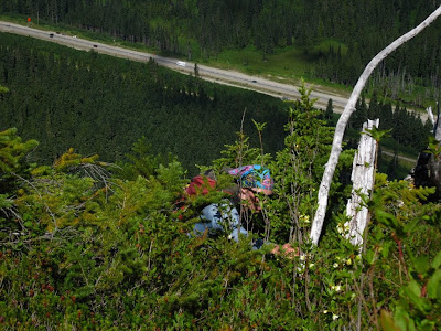
Finally, for the third part, worried about the time, we decided to bail off the ridge into no man's land and thrash back down to the valley floor through some of the nastiest, steepest, thickest greenery I've ever encountered. Alder from hell, devils club, brambles, creeks, cliffs, you name it.
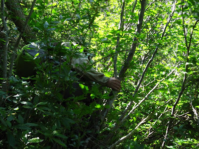
At one point Brenda missed a step and turned turtle in a giant patch of devils club. We figured she was done for and just left her there. She was okay though and eventually found her way home a few days later.
Edit (6 September 2011): We went back a couple of weeks later.
No comments:
Post a Comment